Soubory uživatele Landa
Tato speciální stránka zobrazuje všechny načtené soubory.
| Datum | Název | Náhled | Velikost (bajtů) | Popis | Verze |
|---|---|---|---|---|---|
| 16. 4. 2018, 10:47 | Grass arccr500 6.svg (soubor) |  |
91 KB | 1 | |
| 16. 4. 2018, 10:47 | Grass arccr500 5.svg (soubor) |  |
24 KB | 1 | |
| 16. 4. 2018, 10:44 | Grass arccr500 4.svg (soubor) |  |
108 KB | 1 | |
| 16. 4. 2018, 10:44 | Grass arccr500 3.svg (soubor) |  |
97 KB | 1 | |
| 16. 4. 2018, 10:41 | Grass arccr500 1.svg (soubor) |  |
71 KB | 1 | |
| 16. 4. 2018, 10:39 | Grass arccr500 2.svg (soubor) |  |
89 KB | 1 | |
| 16. 4. 2018, 08:01 | Grass arccr500 0.svg (soubor) |  |
72 KB | 1 | |
| 28. 11. 2017, 12:47 | Desider-E-Slavoj.jpg (soubor) |  |
103 KB | Desider E. Slavoj | 1 |
| 19. 11. 2017, 20:31 | Posun-souradnic.png (soubor) |  |
150 KB | 1 | |
| 7. 9. 2017, 13:42 | B870-ubuntu.png (soubor) |  |
2,02 MB | 2 | |
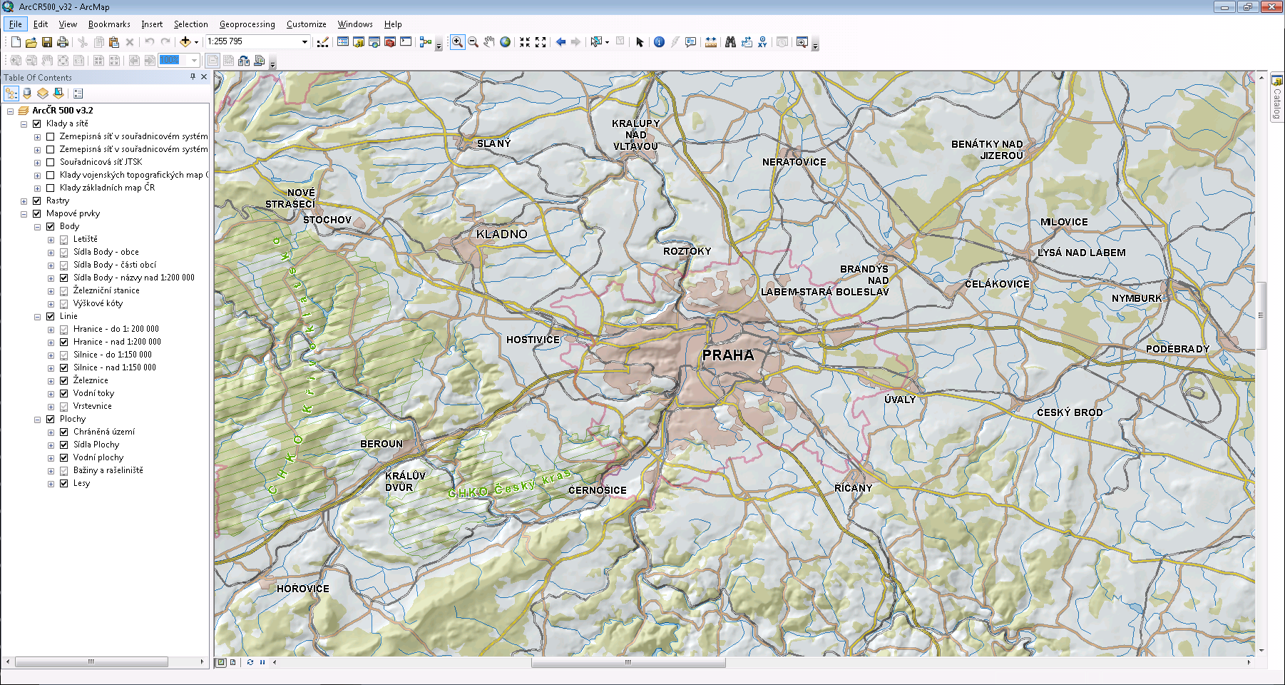
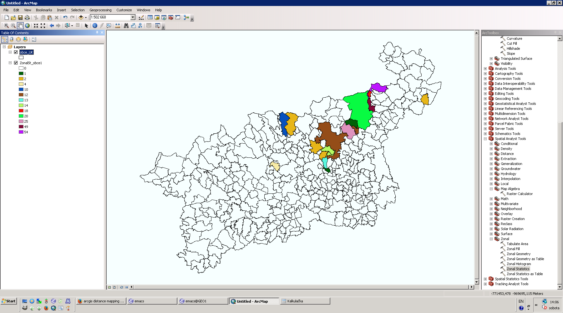
| 4. 10. 2016, 20:35 | Arcgis.png (soubor) |  |
764 KB | Prostředí Esri ArcGIS | 1 |
| 20. 4. 2016, 08:17 | Octave-graf-4.png (soubor) |  |
13 KB | 1 | |
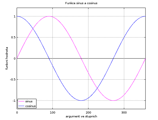
| 20. 4. 2016, 07:34 | Octave-graf-1.png (soubor) |  |
7 KB | 1 | |
| 24. 3. 2016, 10:07 | Body.svg (soubor) |  |
34 KB | 1 | |
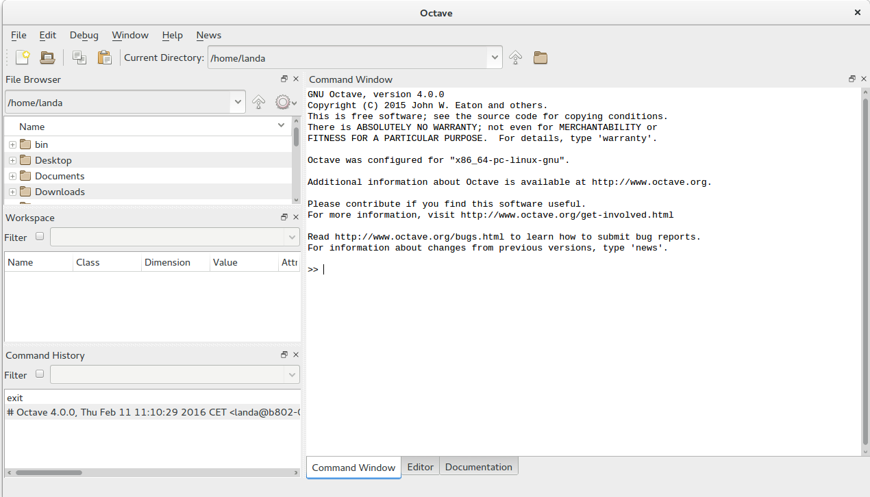
| 24. 2. 2016, 08:51 | Octave-gui.png (soubor) |  |
112 KB | 1 | |
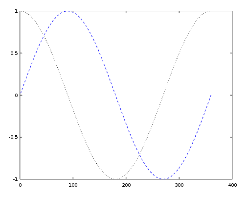
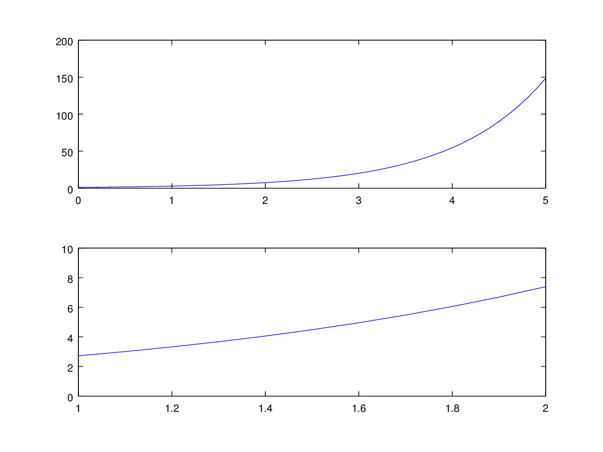
| 31. 3. 2015, 14:16 | Octave-graf-3.png (soubor) |  |
19 KB | axis() | 1 |
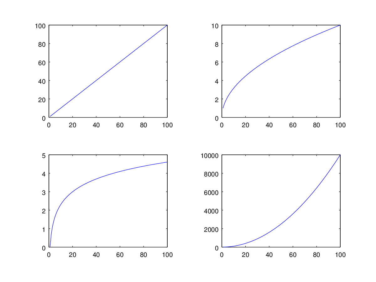
| 31. 3. 2015, 14:14 | Octave-graf-2.png (soubor) |  |
30 KB | subplot() | 1 |
| 31. 3. 2015, 10:49 | Wxgui-launch-ndvi-1.png (soubor) |  |
70 KB | Spuštění skriptu z wxGUI, výpis | 1 |
| 24. 3. 2015, 22:10 | Grass-gis2-cv7-grass.png (soubor) |  |
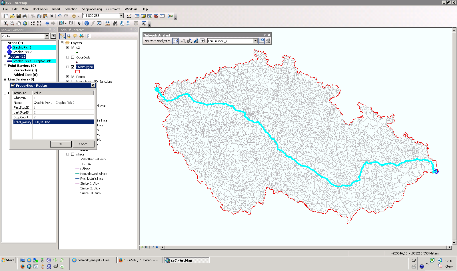
391 KB | Nalezení nejrychlejší cesty z nejvýchodněji položené obce v ČR (Hrčava) do nejzápadněji položené obce (Krásná) v systému GRASS {{GRASS}} | 1 |
| 17. 3. 2015, 16:16 | Gis2-cv6-u2-streams-cmp.png (soubor) |  |
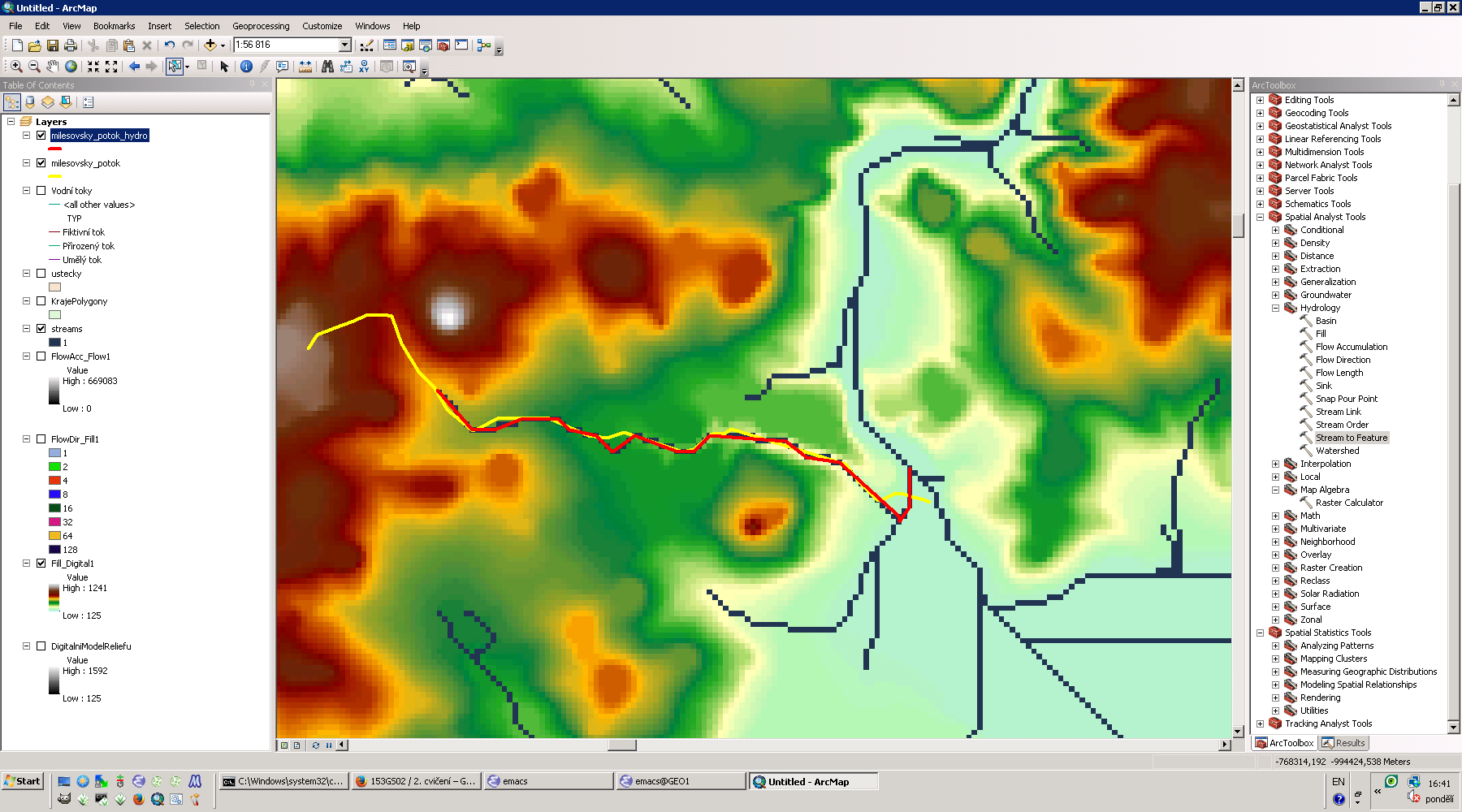
51 KB | Modelování Milešovského potoka v systému GRASS {{GRASS}} | 1 |
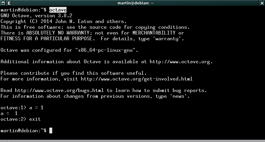
| 17. 2. 2015, 19:23 | Octave-cmd.png (soubor) |  |
14 KB | Spuštění GNU Octave z příkazové řádky, ukončení příkazem exit | 1 |
| 16. 2. 2015, 16:56 | Matlab-ubuntu-launch.png (soubor) |  |
105 KB | Spuštění Matlabu v Ubuntu | 1 |
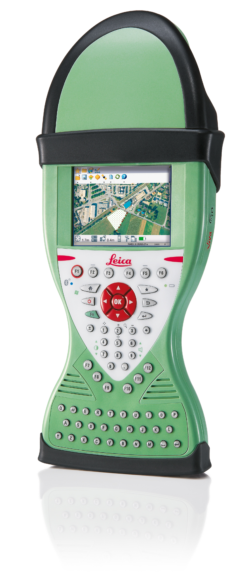
| 5. 12. 2014, 13:58 | Leica-zeno-15.png (soubor) |  |
1,41 MB | Leica Zeno 15 | 1 |
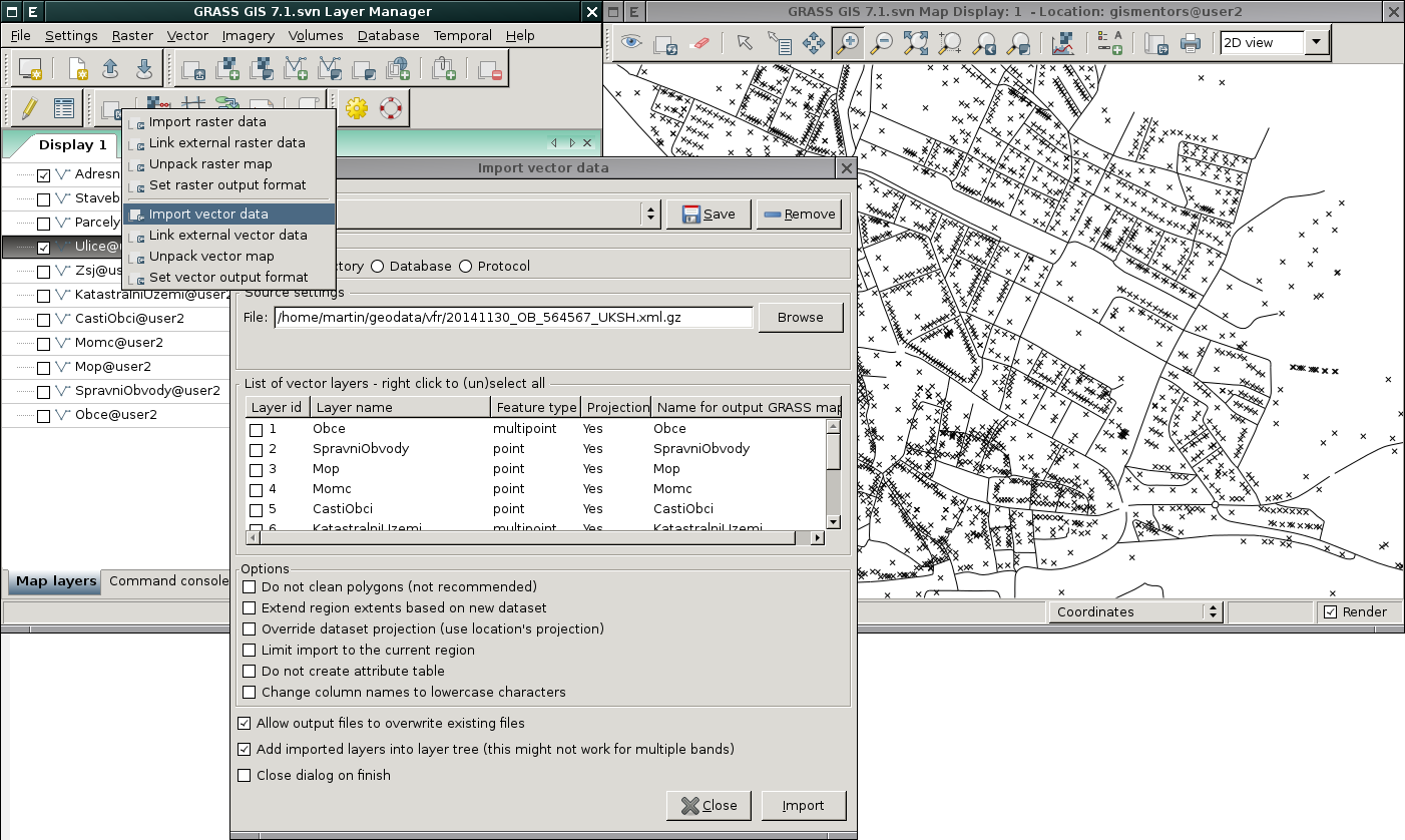
| 2. 12. 2014, 22:04 | Grass-vfr.png (soubor) |  |
372 KB | Načtení dat VFR do prostředí GRASS GIS (ulice a adresní místa) {{GRASS GIS}} | 1 |
| 2. 12. 2014, 21:54 | Grass-vfk.png (soubor) |  |
209 KB | Načtení dat VFK do prostředí GRASS GIS {{GRASS GIS}} | 1 |
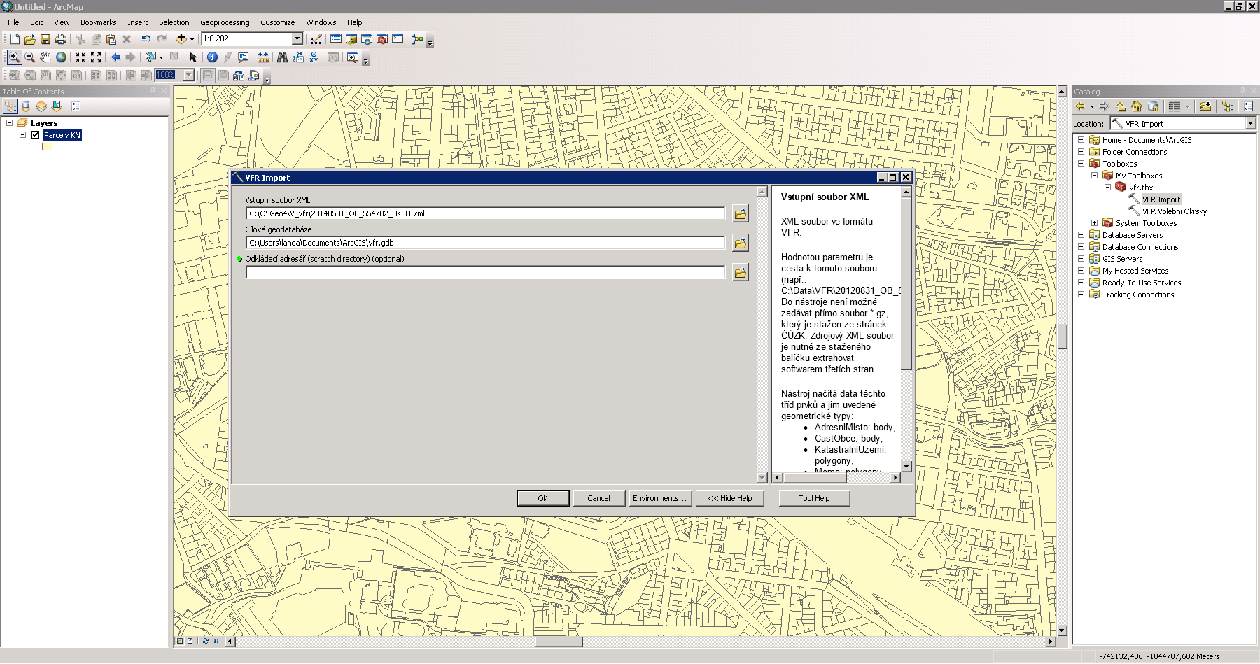
| 2. 12. 2014, 21:44 | Arcgis-vfr.png (soubor) |  |
146 KB | Import dat VFR do prostředí Esri ArcGIS {{ArcGIS}} | 1 |
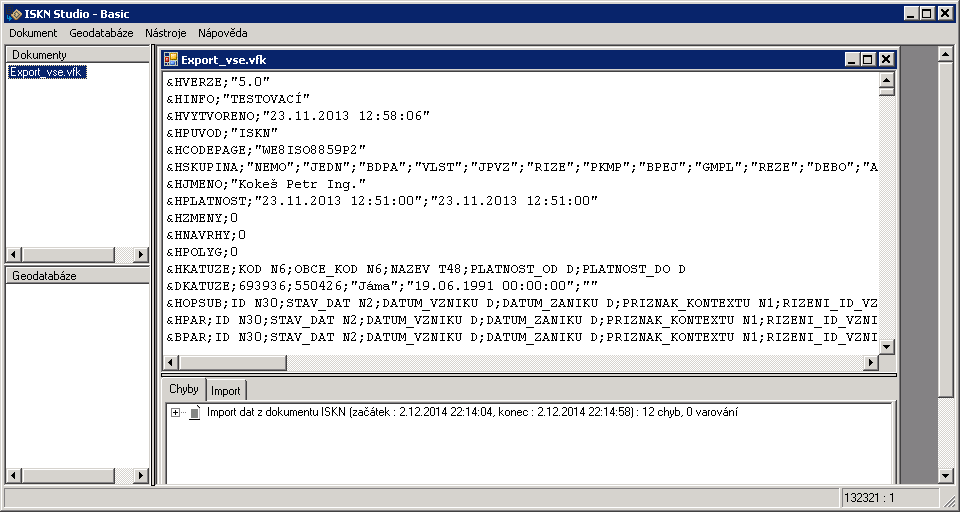
| 2. 12. 2014, 21:18 | Iskn-studio.png (soubor) |  |
18 KB | ISKN Studio pro práci s daty ve formátu VFK {{ArcGIS}} | 1 |
| 11. 11. 2014, 18:51 | Grass-wms.png (soubor) |  |
112 KB | WMS služba ĆÚZK v systému GRASS {{GRASS}} | 1 |
| 4. 11. 2014, 21:16 | Gis-1-2014-u01.gif (soubor) |  |
682 KB | 1 | |
| 3. 11. 2014, 22:55 | Wxgui-dbmgr-stats-1.png (soubor) |  |
11 KB | Příklad statistiky {{GRASS}} | 1 |
| 3. 11. 2014, 22:55 | Wxgui-dbmgr-stats-0.png (soubor) |  |
48 KB | GRASS od verze 7.1 disponuje možnosti zobrazit statistiku vybraného atributu přímo ze Správce atributových dat {{GRASS}} | 1 |
| 23. 10. 2014, 16:02 | Gis-1-2014-u01-5000-50.png (soubor) |  |
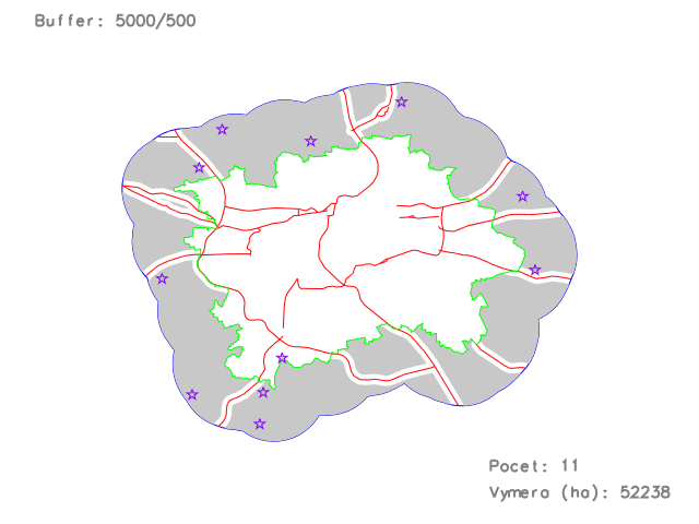
58 KB | Přiklad vizualizace výsledku (pouze pro ilustraci) | 1 |
| 20. 5. 2014, 14:49 | Grass-gis2-cv9-1.png (soubor) |  |
149 KB | Spuštění úlohy modeleru v systému GRASS {{GRASS}} | 1 |
| 20. 5. 2014, 14:41 | Grass-gis2-cv9.png (soubor) |  |
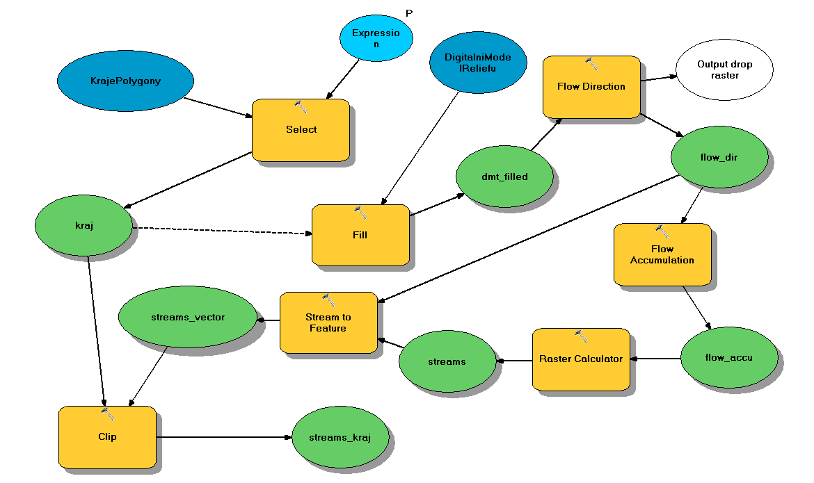
12 KB | Řešení úlohy devátého cvičení GIS 2 v systému GRASS {{GRASS}} | 1 |
| 20. 5. 2014, 14:11 | Arcgis-gis2-cv9-1.png (soubor) |  |
331 KB | Spuštění úlohy modeleru v ArcGIS {{ArcGIS}} | 1 |
| 20. 5. 2014, 14:00 | Arcgis-gis2-cv9.png (soubor) |  |
24 KB | Řešení úlohy devátého cvičení GIS 2 v ArcGIS {{ArcGIS}} | 1 |
| 29. 4. 2014, 20:23 | Modis-spring-avg.png (soubor) |  |
200 KB | Průměrné teploty pro roční období 'jaro' (tabulka barev 'celsius') {{GRASS}} | 1 |
| 29. 4. 2014, 19:17 | G-gui-timeline-modis-4.png (soubor) |  |
40 KB | Vizualizace čtyř časoprostorových datasetů na základě ročního období {{GRASS}} | 1 |
| 29. 4. 2014, 17:44 | G-gui-timeline-modis.png (soubor) |  |
45 KB | Vizualizace časové osy agregovaných LTS dat {{GRASS}} | 1 |
| 29. 4. 2014, 17:37 | G-gui-mapswipe-modis.png (soubor) |  |
213 KB | Vizualizace agregovaných LTS dat pro první dva měsíce roku 2002 {{GRASS}} | 1 |
| 23. 4. 2014, 12:32 | G-gui-animation.png (soubor) |  |
107 KB | wxGUI Animation Tool {{wxGUI}} | 1 |
| 8. 4. 2014, 15:19 | Grass-gis2-cv7.png (soubor) |  |
183 KB | Řešení první úlohy sedmého cvičení GIS 2 v ArcGIS {{ArcGIS}} | 1 |
| 31. 3. 2014, 14:44 | Arcgis-gis2-cv6.png (soubor) |  |
196 KB | Řešení první a druhé úlohy pátého cvičení GIS 2 v ArcGIS {{ArcGIS}} | 1 |
| 22. 3. 2014, 13:09 | Arcgis-gis2-cv5.png (soubor) |  |
179 KB | Řešení první úlohy čtvrtého cvičení GIS 2 v ArcGIS {{ArcGIS}} | 1 |
| 11. 3. 2014, 11:49 | Grass-gis2-cv4.png (soubor) |  |
48 KB | Řešení první úlohy čtvrtého cvičení GIS 2 v systému GRASS {{GRASS}} | 1 |
| 11. 3. 2014, 11:23 | Arcgis-gis2-cv4.png (soubor) |  |
100 KB | Řešení první úlohy čtvrtého cvičení GIS 2 v ArcGIS {{ArcGIS}} | 1 |
| 4. 3. 2014, 14:06 | Grass-gis2-cv3.png (soubor) |  |
125 KB | Řešení první úlohy třetího cvičení GIS 2 v systému GRASS {{GRASS}} | 1 |
| 4. 3. 2014, 11:37 | Arcgis-gis2-cv3.png (soubor) |  |
221 KB | Řešení první úlohy třetího cvičení GIS 2 v ArcGIS {{ArcGIS}} | 1 |
| 26. 2. 2014, 08:47 | Grass-gis2-cv2.png (soubor) |  |
46 KB | Reklasifikace rastrové mapy sklonu svahu v systému GRASS {{GRASS}} | 1 |
| 19. 2. 2014, 08:42 | Grass-dmt-ltm-3d.png (soubor) |  |
306 KB | Vygenerovaný DMT z vektorových vrstevnic (3D pohled) {{GRASS}} | 1 |