Seznam souborů
Tato speciální stránka zobrazuje všechny načtené soubory.
| Datum | Název | Náhled | Velikost (bajtů) | Uživatel | Popis | Verze |
|---|---|---|---|---|---|---|
| 11. 5. 2011, 12:27 | Pgadmin3-uzpd1.png (soubor) |  |
136 KB | Landa | Příklad dotazu v prostředí PgAdmin3 {{GFOSS}} {{Databáze}} | 1 |
| 18. 9. 2011, 12:38 | Grass-wxgui.png (soubor) |  |
995 KB | Landa | 1 | |
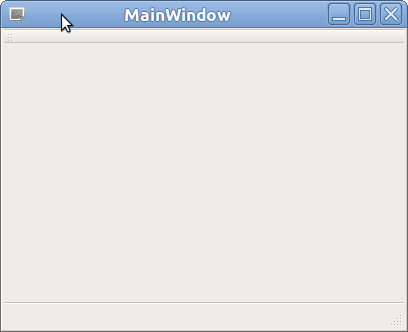
| 18. 9. 2011, 18:18 | Qt-MainWindow-0.png (soubor) |  |
8 KB | Cepek | Implicitní prázdné hlavní okno Qt aplikace (vygenerovaná kostra GUI Qt aplikace) | 1 |
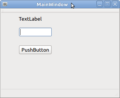
| 18. 9. 2011, 18:48 | Qt-MainWindow-1.png (soubor) |  |
12 KB | Cepek | 1 | |
| 20. 9. 2011, 15:42 | Wingrass-0.png (soubor) |  |
21 KB | Landa | WinGRASS nativní instalátor {{GRASS}} | 1 |
| 20. 9. 2011, 15:42 | Wingrass-1.png (soubor) |  |
11 KB | Landa | WinGRASS nativní instalátor {{GRASS}} | 1 |
| 20. 9. 2011, 15:42 | Wingrass-2.png (soubor) |  |
9 KB | Landa | WinGRASS nativní instalátor {{GRASS}} | 1 |
| 20. 9. 2011, 15:42 | Wingrass-3.png (soubor) |  |
10 KB | Landa | WinGRASS nativní instalátor {{GRASS}} | 1 |
| 20. 9. 2011, 15:42 | Wingrass-4.png (soubor) |  |
11 KB | Landa | WinGRASS nativní instalátor {{GRASS}} | 1 |
| 20. 9. 2011, 15:43 | Wingrass-5.png (soubor) |  |
21 KB | Landa | WinGRASS nativní instalátor {{GRASS}} | 1 |
| 20. 9. 2011, 15:43 | Wingrass-7.png (soubor) |  |
95 KB | Landa | WinGRASS nativní instalátor {{GRASS}} | 1 |
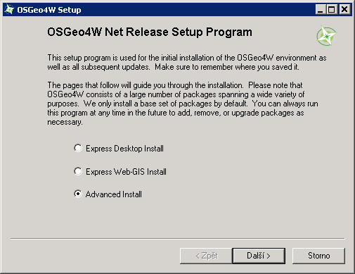
| 20. 9. 2011, 16:05 | Osgeo4w-0.png (soubor) |  |
9 KB | Landa | OSGeo4W GRASS instalátor {{GRASS}} | 1 |
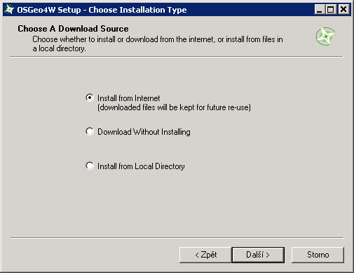
| 20. 9. 2011, 16:05 | Osgeo4w-1.png (soubor) |  |
6 KB | Landa | OSGeo4W GRASS instalátor {{GRASS}} | 1 |
| 20. 9. 2011, 16:06 | Osgeo4w-2.png (soubor) |  |
6 KB | Landa | OSGeo4W GRASS instalátor {{GRASS}} | 1 |
| 27. 9. 2011, 22:46 | Logo-saga.png (soubor) |  |
3 KB | Landa | Logo SAGA GIS | 1 |
| 8. 10. 2011, 19:18 | Calculator.png (soubor) |  |
1 KB | Landa | {{GRASS}} | 1 |
| 8. 10. 2011, 21:02 | Wxgui-modeler.png (soubor) |  |
1 KB | Landa | {{GRASS}} | 1 |
| 12. 10. 2011, 13:01 | Landsat-prehledka.png (soubor) |  |
59 KB | Landa | Vektorová přehledka mapsetů s importovanými daty Landsat {{GRASS}} | 1 |
| 19. 10. 2011, 13:00 | Wingrass-6.png (soubor) |  |
21 KB | Landa | 1 | |
| 19. 10. 2011, 13:06 | Osgeo4w-3.png (soubor) |  |
20 KB | Landa | 1 | |
| 27. 11. 2011, 11:58 | Group-dialog-1.png (soubor) |  |
61 KB | Landa | Založení obrazové skupiny ve wxGUI (výběr rastrových map) {{GRASS}} | 1 |
| 27. 11. 2011, 11:59 | Group-dialog-2.png (soubor) |  |
21 KB | Landa | Založení obrazové skupiny ve wxGUI {{wxGUI}} | 1 |
| 27. 11. 2011, 18:02 | Osm-landuse.png (soubor) |  |
88 KB | Landa | 1 | |
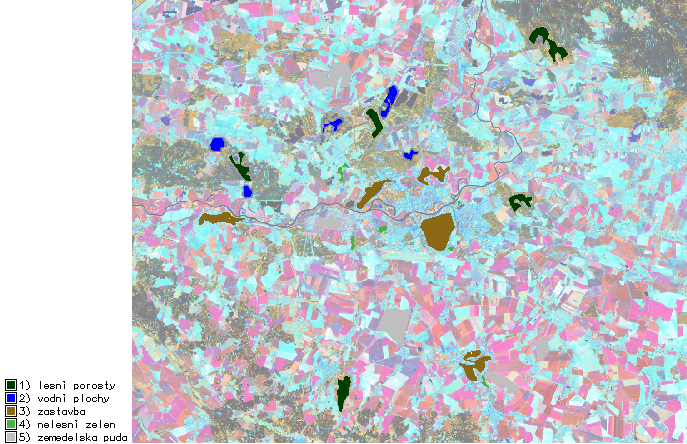
| 27. 11. 2011, 19:46 | Landuse-tm453.png (soubor) |  |
428 KB | Landa | Landuse (zástavba - hnědá, zemědělská půda - šedivá, lesní porosty - tmavě zelená, zeleň - zelená, vodní plochy - modrá), hranice města (červená), na pozadí barevná kompozice 453 {{GRASS}} | 1 |
| 5. 12. 2011, 10:17 | Grass-tp453.png (soubor) |  |
514 KB | Landa | Rasterizované trénovací plochy, na pozadí barevná kompozice RGB 453 {{GRASS GIS}} | 1 |
| 5. 12. 2011, 10:32 | Grass-mlc.png (soubor) |  |
108 KB | Landa | 1 | |
| 5. 12. 2011, 10:33 | Grass-smap.png (soubor) |  |
86 KB | Landa | 1 | |
| 5. 12. 2011, 10:37 | Grass-postkl.png (soubor) |  |
74 KB | Landa | 1 | |
| 5. 12. 2011, 10:38 | Grass-postkl-smap.png (soubor) |  |
69 KB | Landa | Výsledek postklasifikačních úprav (SMAP) {{GRASS GIS}} | 1 |
| 16. 12. 2011, 11:44 | Grass-region-par.png (soubor) |  |
716 KB | Landa | Nastavení výpočetního regionu na základě vektorové vrstvy s daným offsetem {{GRASS}} | 1 |
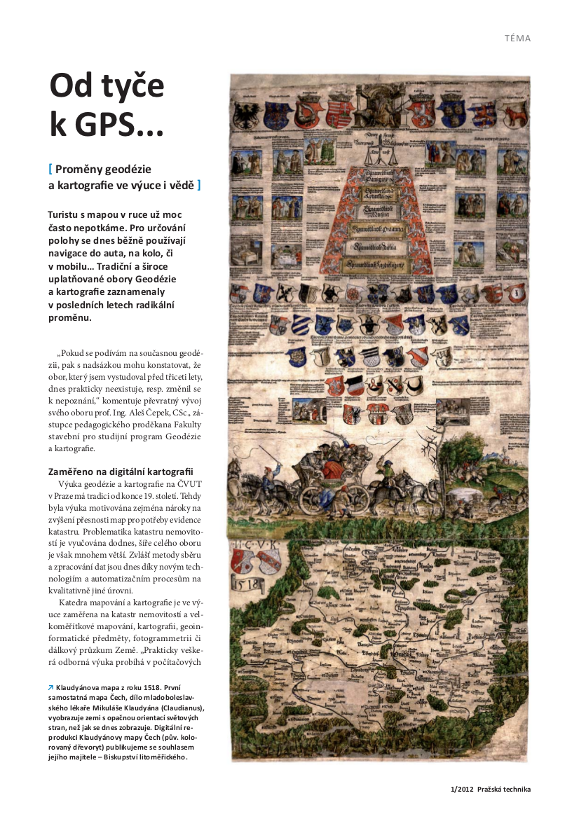
| 6. 3. 2012, 07:29 | Pt-2012-1.pdf (soubor) | 120 KB | Cepek | Titulní strana časopisu Pražská technika 2012/1 s tématem čísla '''Od tyče k GPS... (proměny geodézie a kartografie ve výuce a vědě)''' http://www.cvut.cz/cs/struktura/ctn/pt/resolveuid/0e1da75a946f7dd55ad3952257a5e1d0 | 1 | |
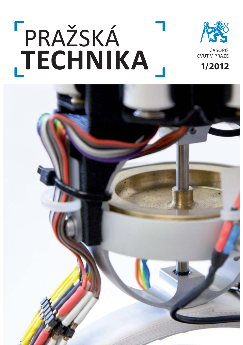
| 6. 3. 2012, 07:36 | Pt-2012-1.png (soubor) |  |
601 KB | Cepek | Titulní strana časopisu Pražská technika 2012/1 s tématem čísla '''Od tyče k GPS... (proměny geodézie a kartografie ve výuce a vědě)''' http://www.cvut.cz/cs/struktura/ctn/pt/resolveuid/0e1da75a946f7dd55ad3952257a5e1d0 | 1 |
| 6. 3. 2012, 08:22 | Pt-2010-3.png (soubor) |  |
738 KB | Cepek | 1 | |
| 6. 3. 2012, 09:07 | GK CVUT.pdf (soubor) | 619 KB | Cepek | Článek Od tyče k GPS ... uveřejněný v časopisu Pražská technika, 2012/1 | 1 | |
| 6. 3. 2012, 09:11 | GK CVUT.png (soubor) |  |
1,05 MB | Cepek | png soubor pro článek Od tyče k GPS ... Soubor:GK_CVUT.pdf | 1 |
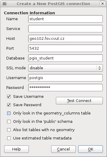
| 6. 3. 2012, 13:52 | Pgadmin3-postgis.png (soubor) |  |
31 KB | Landa | 1 | |
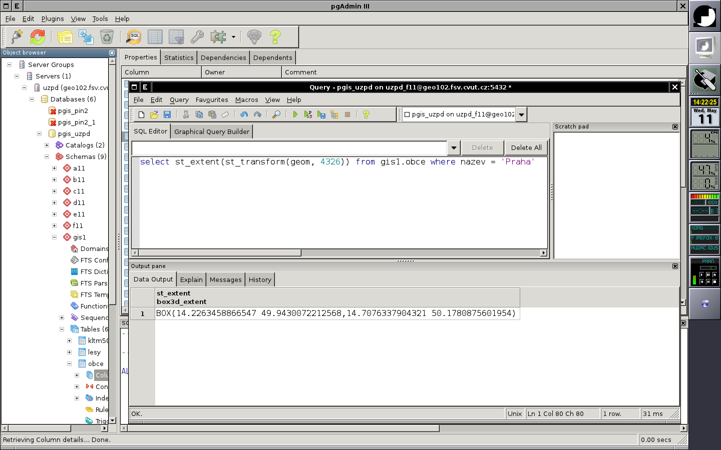
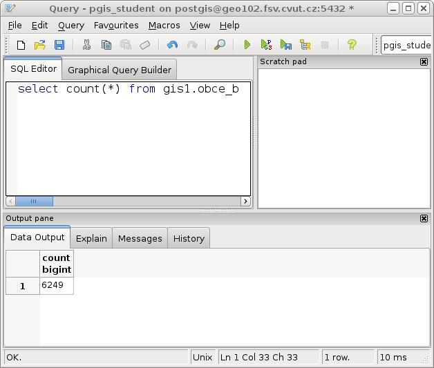
| 6. 3. 2012, 14:23 | Pgadmin3-postgis1.png (soubor) |  |
37 KB | Landa | pgAdmin3: příklad prostorového SQL dotazu {{GFOSS}} | 1 |
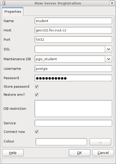
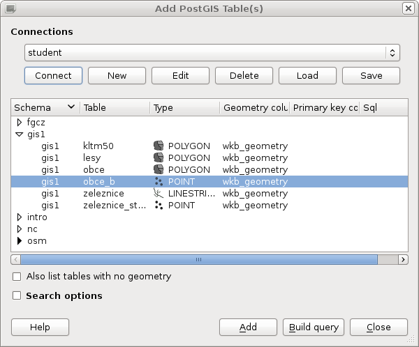
| 6. 3. 2012, 14:34 | Qgis-student.png (soubor) |  |
35 KB | Landa | 1 | |
| 6. 3. 2012, 14:35 | Qgis-pgis2.png (soubor) |  |
41 KB | Landa | 1 | |
| 6. 3. 2012, 14:35 | Qgis-pgis3.png (soubor) |  |
387 KB | Landa | 1 | |
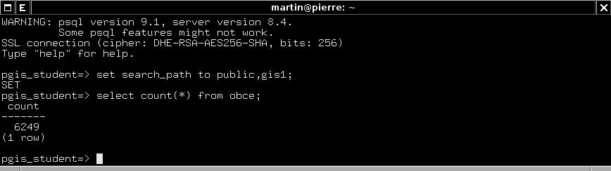
| 9. 4. 2012, 16:41 | Psql-pgis-example.png (soubor) |  |
6 KB | Landa | Příklad přístupu ke studentské geodatabázi přes psql {{GFOSS}} {{Databáze}} | 1 |
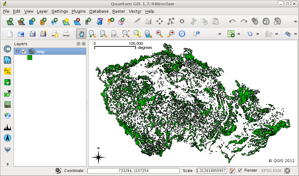
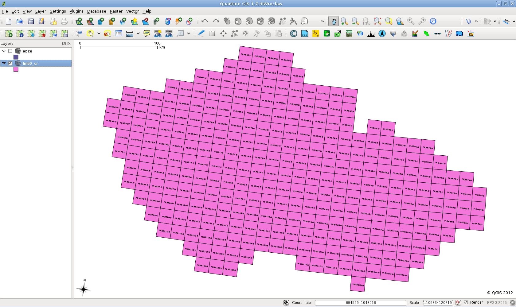
| 10. 4. 2012, 10:29 | Tm50-qgis-sf.png (soubor) |  |
359 KB | Landa | Klad mapových listu TM50 (území ČR) {{GFOSS}} | 1 |
| 10. 4. 2012, 10:34 | Tm50-qgis-topo.png (soubor) |  |
391 KB | Landa | {{GFOSS}} | 1 |
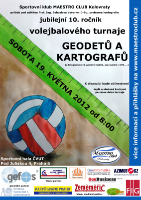
| 19. 4. 2012, 20:42 | Volejbal-gk-2012-plakat-400px.png (soubor) |  |
179 KB | Soucek | 1 | |
| 23. 5. 2012, 19:41 | Jirikovsky Lisov.jpg (soubor) |  |
23 KB | Jirikovsky | T.J. u základního nivelačního bodu Lišov | 1 |
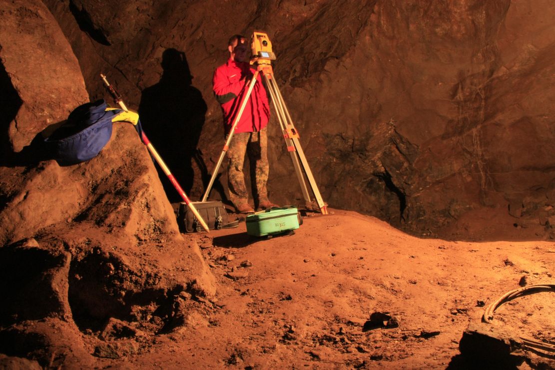
| 7. 6. 2012, 09:00 | O9-MERENI.jpg (soubor) |  |
176 KB | Tesar | Projekt zaměření jeskyně - 2009 | 1 |
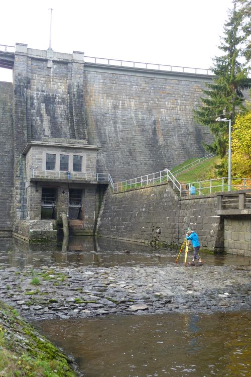
| 7. 6. 2012, 09:05 | PrehradaHusinec2010.jpg (soubor) |  |
109 KB | Tesar | zaměření přehrady Husinec - 2010 | 1 |
| 5. 8. 2012, 09:07 | Cepek.ales.jpg (soubor) |  |
36 KB | Cepek | 4 | |
| 5. 10. 2012, 07:08 | Osgeo4w-dev-0.png (soubor) |  |
9 KB | Landa | Instalace vývojové verze GRASS pomocí OSGeo4W {{GFOSS}} | 1 |
| 5. 10. 2012, 07:09 | Osgeo4w-dev-1.png (soubor) |  |
7 KB | Landa | Instalace vývojové verze GRASS pomocí OSGeo4W {{GFOSS}} | 1 |